
2129870 ₸
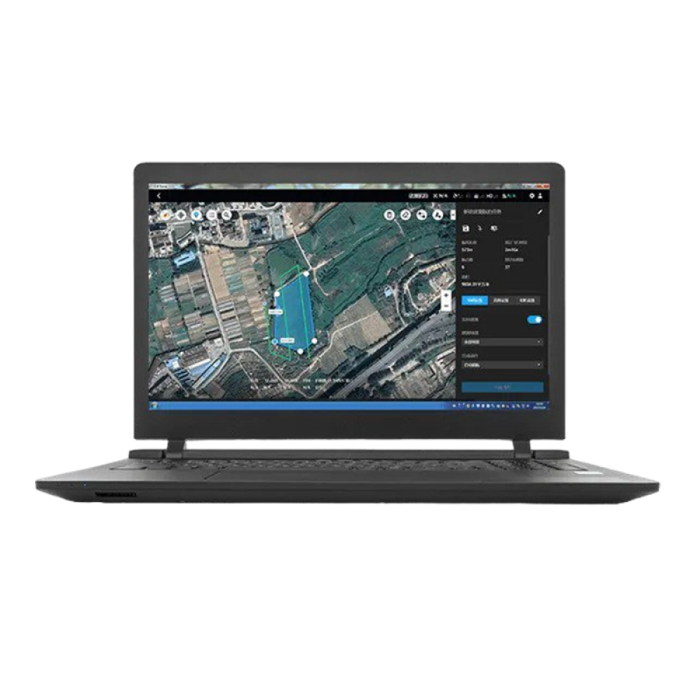
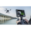
Программное обеспечение DJI Terra — это комплексный программный пакет, разработанный для 3D-моделирования и картографирования с помощью дронов. Он предлагает комплексное решение для автоматизации сложных миссий и сбора данных в реальном времени, что делает его ценным для геодезистов для планирования, визуализации, обработки и анализа данных картографирования с помощью дронов.
Используя DJI Terra, пользователи могут преобразовывать фотографии, снятые дронами DJI, в двухмерные ортомозаики высокого разрешения и полностью управляемые трехмерные реконструкции. Эта возможность позволяет организациям анализировать данные с большей легкостью и точностью.
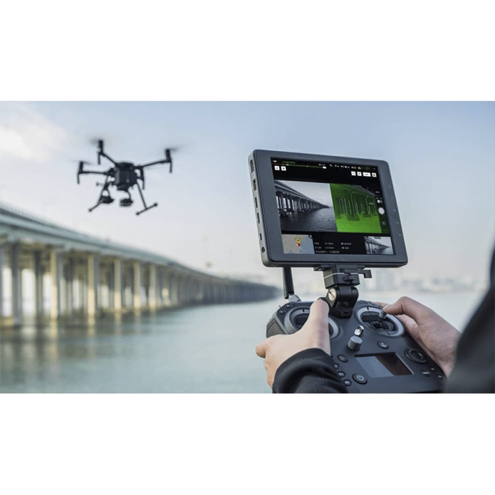
Приложения DJI Terra разнообразны и охватывают различные отрасли, такие как общественная безопасность, строительство, инфраструктура и сельское хозяйство. Он предоставляет универсальный набор инструментов для профессионалов для использования моделей картографирования с помощью дронов в своих областях.
DJI Terra совместим с рядом моделей дронов DJI, включая Phantom 4 RTK, Phantom 4 Pro V2.0, Phantom 4 Pro + V2.0, Phantom 4 Pro, Phantom 4 Advanced, Phantom 4 и Phantom 4 Multispectral.
Для DJI Terra доступны различные варианты лицензий, включая пакет Electricity, который позволяет моделировать линии электропередач. Эта функция позволяет корпоративным пользователям создавать подробные 3D-реконструкции тонких линий электропередач, удовлетворяя особые потребности определенных отраслей.
Ключевая особенность:
- Планирование миссий дронов: планируйте полеты до начала операций.
- Сбор данных: сбор и централизация данных с дронов.
- Картографирование областей: создание 3D-карт выбранных областей.
- Анализ данных: ряд инструментов, которые помогут вам получить такие измерения, как объем и расстояние.
-
Еще не было вопросов